Sintesi
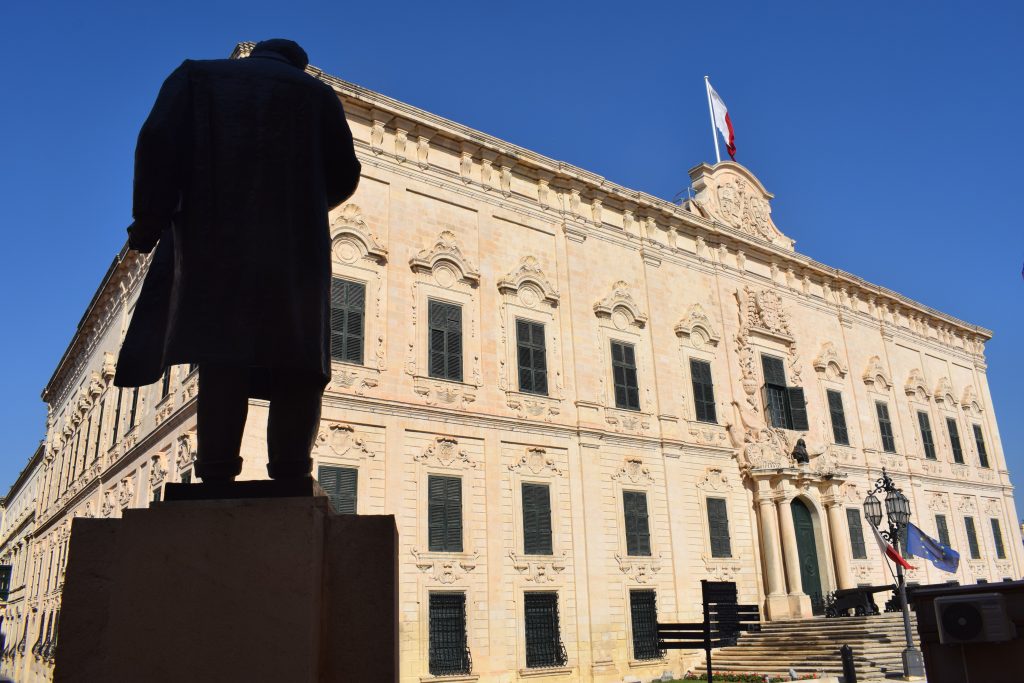
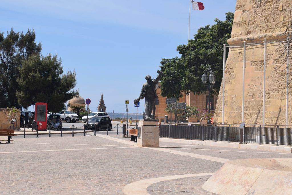
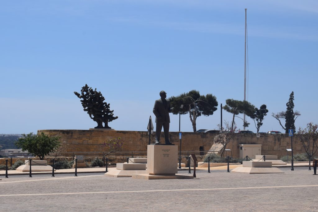
This piazza is situated at the highest point of Valletta such that it commands the views of the Grand Harbour up to Mdina. It is probably the reason why this site was originally intended for the palace of the Grand Master. Its peripheral location, originally behind bastions, meant that it was used for the storage of food, result of which, the granaries came to be. The granaries in this square are similar to those in Floriana but have a squarish slab on top. Note how on the basis of this drawing, the paving only seems to have surrounded the granary openings.While some of the granaries are still visible, others have been buried for decades under the tarmac. This 1920s drawing shows sixteen silo covers, aligned in two parallel rows. In fact, in the early years of the British period, and with the growing use of the motor car in the 20th century, new roads were built, changing irreversibly this area. In 1976, a roundabout was constructed in front of Castille - at a time when traffic was unfortunately allowed to roam freely in the capital. Between 1931 and 1973, the square had also served as a bus terminus.
The piazza underwent an extensive refurbishment in 2015, when pedestrian areas were enlarged and new paving and street furniture was installed.
- Bonello, Giovanni. Valletta : Lost City : Memories of Places and Times : Vol. 1 / 1. Ed. Fondazzjoni Patrimonju Malti., 2015.
- Bonello, Giovanni. Valletta : Lost City : Memories of Places and Times : Vol. 2 / 2. Ed. Fondazzjoni Patrimonju Malti., 2017.
- Ganado, Albert. Valletta Città Nuova : A Map History (1566-1600). Eds. David Woodward and Arthur H. Robinson. San Gwann: San Gwann : P.E.G, 2003.
- Vella, Theresa. Charles Frederick De Brocktorff : Watercolours of Malta at the National Library, Valletta, Volume II. Ed. Giovanni Bonello., 2008.
- Zammit, Themistocles. Valletta. an Historical Sketch. Empire Press, 1929.


